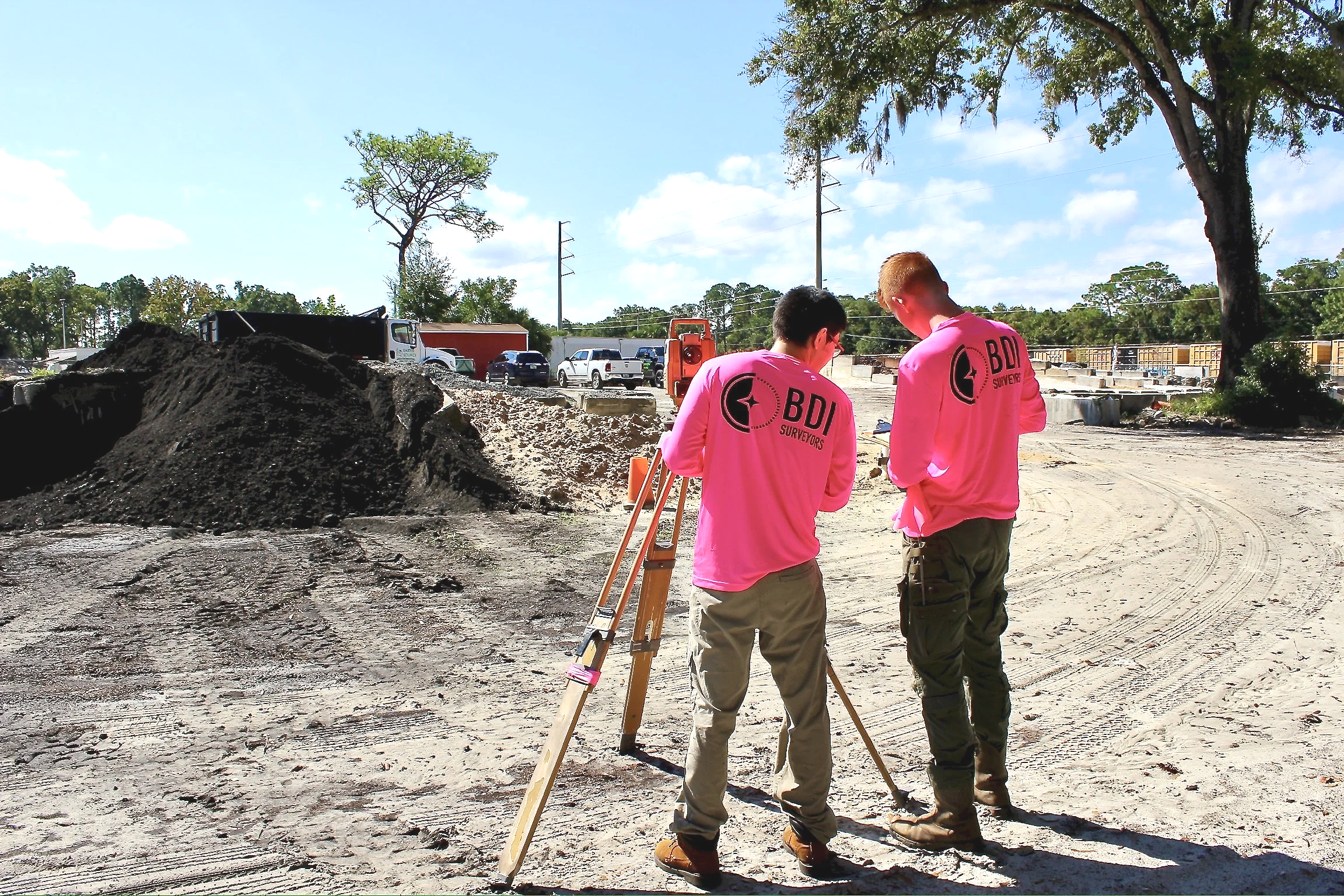
Services
-

Boundary Surveys
The purpose of a boundary survey is to clearly establish the exact property lines of a parcel of land. A homeowner may want one in order to know the limits of their property and prevent disputes. Prior to building a fence or adding a driveway, shed or other improvements, a boundary survey will confirm that the work is within the property lines. Title companies and lenders often require a boundary survey prior to the purchase of a piece of land.
-

Construction Surveys & Site Plans
Prior to obtaining permits for a construction project, site plans showing trees, land contours, and proposed improvements must be submitted to the city planner for approval. We provide this phase of construction survey service, as well as pinning the structure's location on the lot, form board certificates, and final surveys.
-

Elevation Certificates
Elevation certificates are required by lenders if a property is located within a flood zone. These certificates show the actual elevation of the home, and provide other information about the home that can affect water flow during a storm. Elevation certificates are also required during construction of a home on a lot that is inside of a flood zone. The first one is performed when the form boards are installed, prior to pouring the concrete slab, to ensure the house is being built above the flood zone. The second one is required upon completion of the construction, prior to obtaining a certificate of occupancy.
-

Aerial Drone Photogrammetry
This is the science of turning drone photos into high precision maps and 3D models. We fly over the site and snap hundreds (sometimes thousands) of overlapping pictures and then stitch them together with... trigonometry. The result? Measurable data with sub-inch accuracy. Think of it like google earth on a double espresso. From property lines to construction sites, aerial photogrammetry gives you a bird's eye view with tape measure accuracy.